Project · Elevation model · contours
Mountain Survey
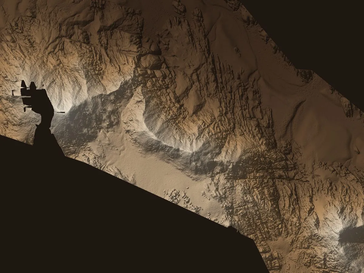
632 haarea
517 mrelief
The brief
Map a full mountain range in enough detail for slopes, sections and routes to be measured and designed against.
How we surveyed it
A 632 ha block flown on a fixed plan and processed into a digital elevation model at 22 cm, then contoured at a one-metre interval.
Delivered
- Digital elevation model at 22 cm
- 84,862 contour lines at 1 m, for CAD and GIS
- Relief of 517 m captured end to end