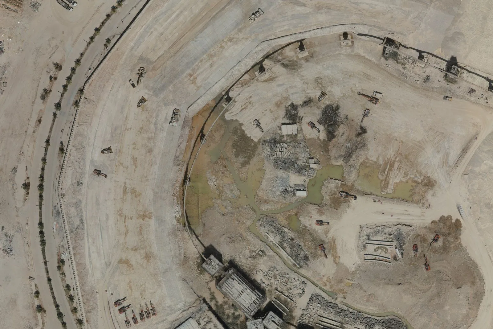
Urban Construction Survey
Orthomosaic · progress
77 ha · 7.75 cm
Aerial survey & geospatial data
We plan the flight, capture the site to the centimetre, and hand over data your project can build on. Everything on this page comes from our own surveys.
↓ Scroll to start
01 · Plan
Parallel lines at 80% forward and 70% side overlap, flown the same way every visit. Control points are observed with GNSS to tie every photo to the ground.
80/70overlapRTK + PPKpositioning
02 · Orthomosaic
An urban construction site: excavation, plant and surrounding roads in one geometrically corrected image you can measure from directly.
77 haarea7.75 cmpixel size
03 · Elevation
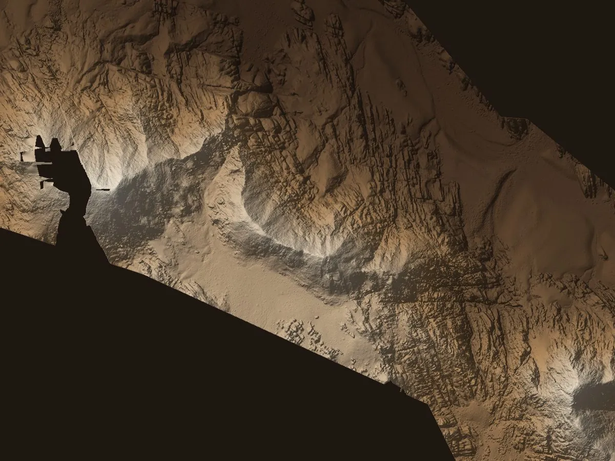
A digital elevation model of a full mountain range. Every cell knows its height, so slopes, sections and routes become measurable.
632 haarea517 mrelief22 cmcell
04 · Contours
Over 84,000 contour lines across the range, delivered for CAD and GIS. Shown here every 5 m so the picture stays readable.
84,862lines1 minterval
05 · Point cloud
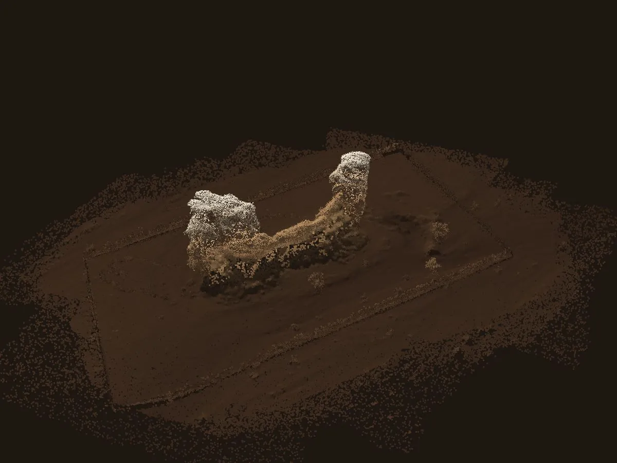
Captured with a Zenmuse P1 and PPK correction. Every point carries real 3D coordinates for models, sections and volumes.
1.89 Mpoints300 Kshown
06 · Analysis
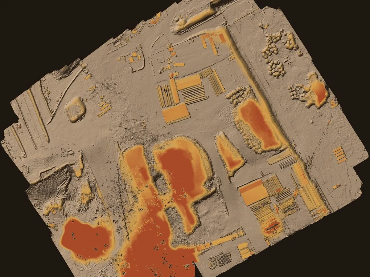
On a community site we subtracted the bare-earth model from the surface model, and stockpiles and structures appeared on their own: the basis for volumes and progress tracking.
DEM − DTMmethod≈ 14 haarea
Projects
Orthomosaic · progress
Elevation model · contours
DEM − DTM · volumes
Point cloud · PPK
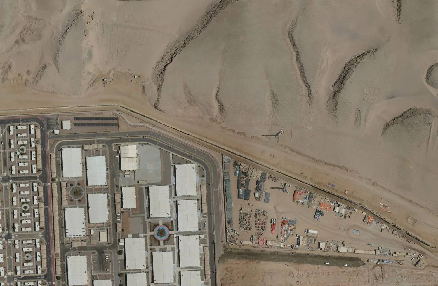
Orthomosaic · DSM
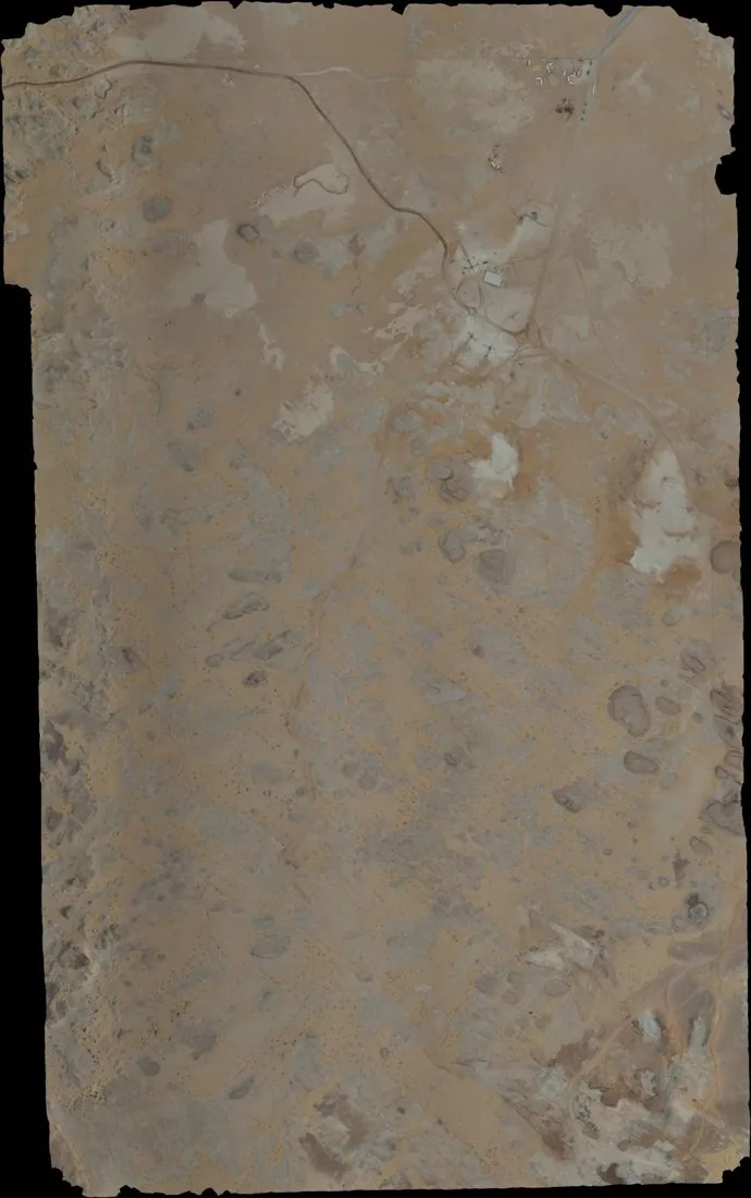
Dense point cloud · DSM
In numbers
Services
Elevation models, bare-earth models and contours tied to ground control.
Repeat orthomosaics on a fixed flight plan, so every visit compares directly.
Cut, fill and stockpiles from the difference between two models or two visits.
Point clouds and reality models of sites, structures and terrain.
Photos, PPK logs and control coordinates with an accuracy report.
Aerial video up to 6K and 360° panoramas from fixed points.
Equipment
Every image and model on this page comes from surveys we flew. Shown as lightweight web versions.