Project · Orthomosaic · progress
Urban Construction Survey
77 haarea
7.75 cmpixel
The brief
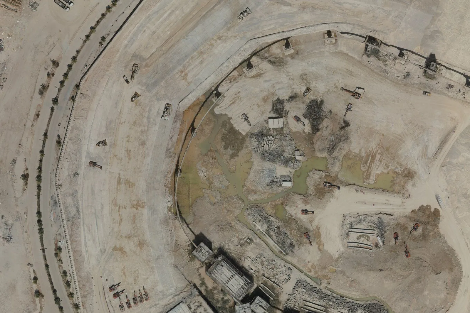
Follow an active construction site — excavation, plant and the roads around it — with imagery the team can measure from directly.
How we surveyed it
Parallel flight lines at 80% forward and 70% side overlap over the full site, tied to GNSS-observed ground control, processed into one geometrically corrected orthomosaic.
Delivered
- Orthomosaic (GeoTIFF) at 7.75 cm per pixel
- The same flight plan for every repeat visit
- Measurable views for progress meetings